Skip to product information
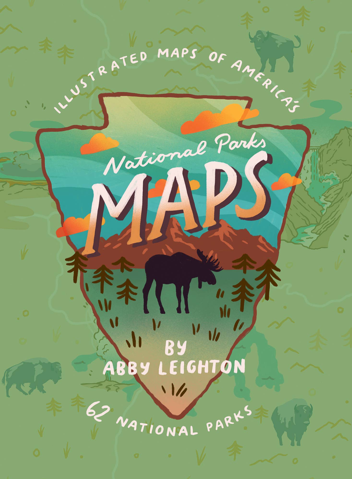


Gibbs Smith- National Parks Maps: Illustrated Maps of 62 National Parks
$19.99
Pickup available at Rise and Wander Co Main Street
Usually ready in 24 hours
Description
Explore all 62 national parks in the United States from the Atlantic to the Pacific and everywhere in between in this illustrated map collection. Learn about our parks’ founding fathers and the unique characteristics each park has to offer—maybe even discover a park you’ve never heard of before, or a new one to have your next adventure. National Parks Maps is an informative and educational art collection meant for park fans of all ages.
Hardcover Paper over boards 80pgs History/Symbols & Monuments/ National Parks/ Travel/ United States
Written by : Abby Leighton visited her first national park in 2014 and has been inspired ever since. She received her BFA in Illustration in 2019 from Pratt Institute in Brooklyn, New York. She now lives in Moab, Utah, designing souvenirs for the parks.
Care
To maintain the beauty and integrity of your purchase, we recommend treating it with care. Simple maintenance practices, such as gentle washing and proper storage, can effectively preserve the longevity of your favorites. We encourage you to refer to the care instructions included with each item, designed to help you keep your purchase in top condition.
Design
Our dedication to excellence extends beyond materials; it encompasses the artistry and craftsmanship illustrated in every piece we create.